
01
Start with the property
Match the address to its council, lot, land zone and mapped planning constraints.
How it works
The product should feel less like an AI prompt and more like a guided planning workflow, with the property and proposal driving every section.
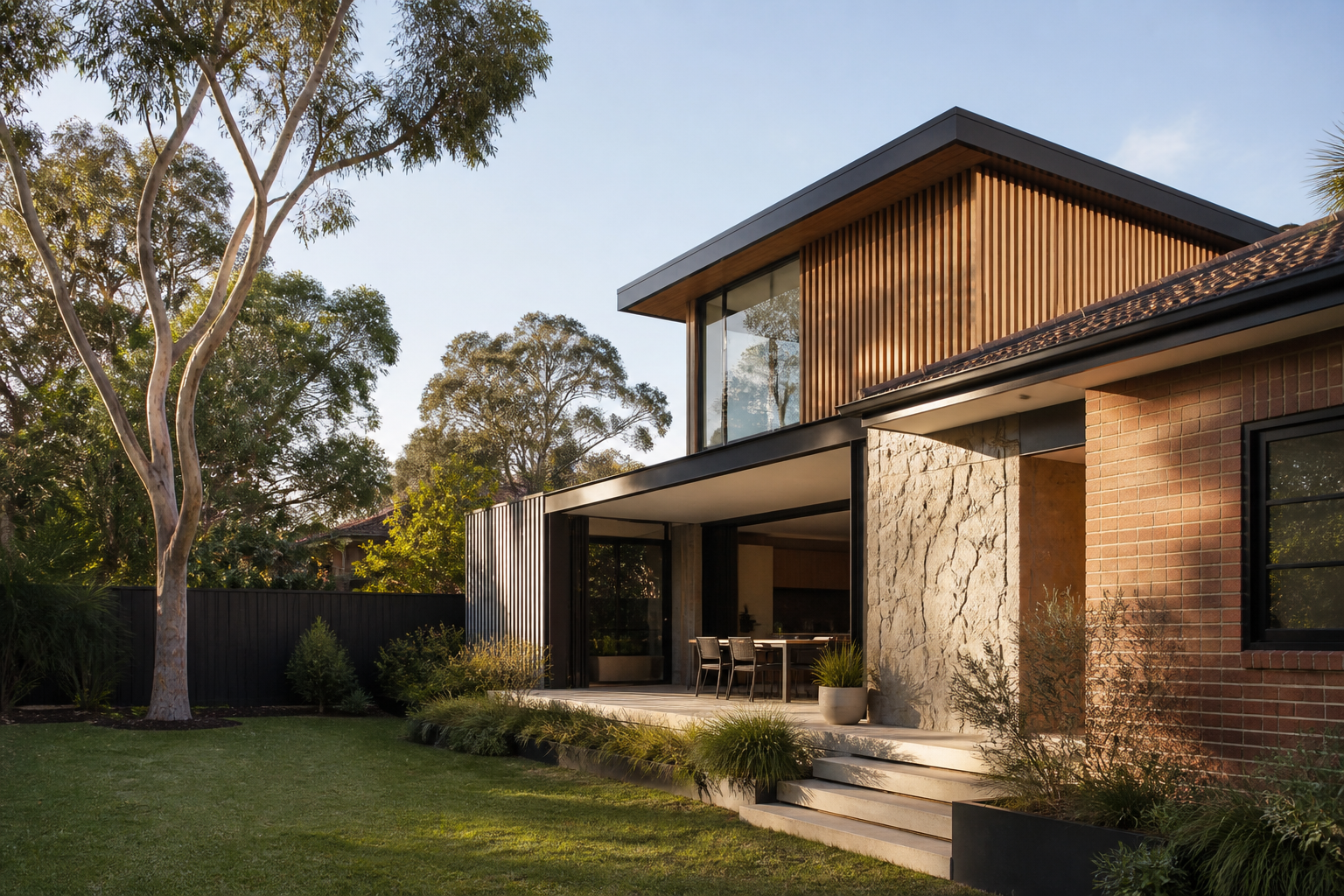
Match the address to its council, lot, land zone and mapped planning constraints.
Choose the development type and enter the dimensions and details that affect the assessment.
See the controls, impacts, source references and any questions that still need confirmation.
Review the final PDF and editable Word report against the drawing set before submission.
Heritage, flood, bushfire and biodiversity indicators are surfaced.
Likely departures from key planning controls are flagged for review.
Unsupported or specialist matters are referred instead of being forced through.
The applicant sees sources, retrieval dates and items still needing confirmation.
When to use a planner